- 2006 May 9
- © Copyright 2006 Eric Nguyen
-
- Chase Area: North Texas
- Amos Magliocco, Scott Eubanks, and myself targeted the outflow
boundary / dryline intersection SE of OUN. We met up with Bob Fritchie and Rachael
Sigler (old college buddies). We were afraid our warm sector would shrink with time
before any storms could fire, which was the case. By the time storms fired they were
in the woods of E and SE OK. Determined not to venture into that region, we drove
south on I-35 back home. One cell did fire east of Gainesville, which was going to
move into favorable terrain, so Amos, Scott, and I went after it.

-
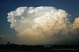
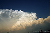
- Explosive Convection
- Convection was very explosive once it broke the cap, especially given
the amount of instability ~4000 J/kg with surface at ~80/72. We got underneath the
large convective region and saw a skinny rotating updraft north of 82. No hail to
speak of, and low reflectivity values on radar led us south to new development. It
was a cluster of small cells with the southern cells looking better.
-
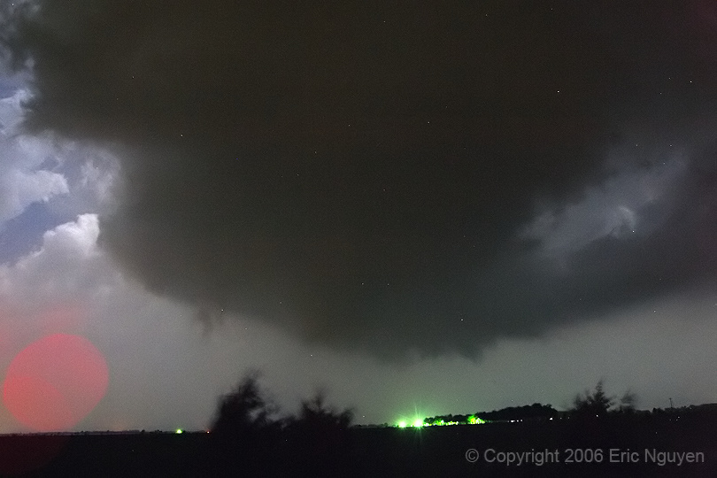
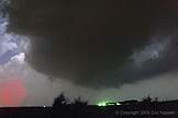
- Tornado #1 - Gunter, Texas
- Finally, a cell developed SW of Gunter, TX, moving east that produced
a weak tornado for several minutes (~0208 - 0211 UTC). We tried to find a local
spotter network and did so 10 minutes later. We reported this and continued with
that storm. These are a series of long exposure images I did as it was literally
pitch black outside with limited lightning.

-
- Tornado #2 - Anna, Texas
- We reached Anna, TX, and watch back to our west as reports of a
tornado came in. We observed large power flashes north of Anna, about 1 mile to our
NW. Full condensation eventually touched down at around 0332 UTC and the tornado
seemed to lift 2 minutes later. This tornado didn't last long as was most likely
associated with the same meso as the next tornado. The National Weather Service
found two distinct tracks though.
-
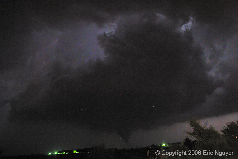
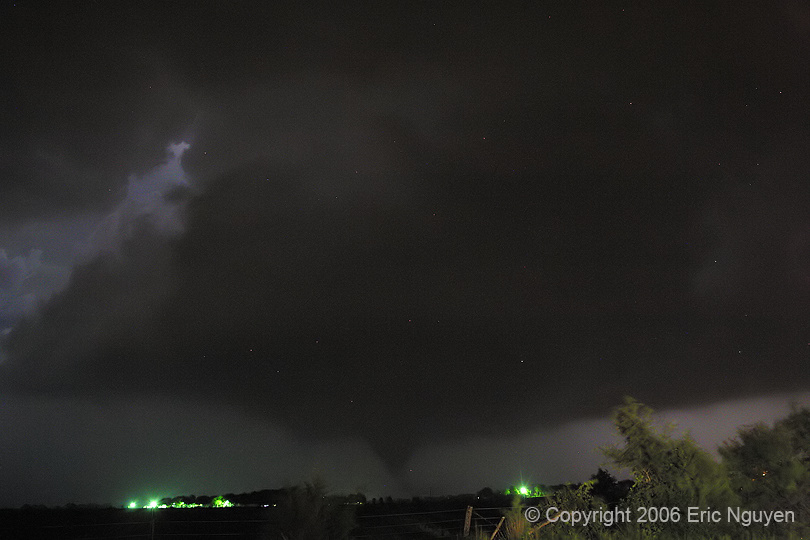
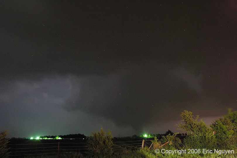
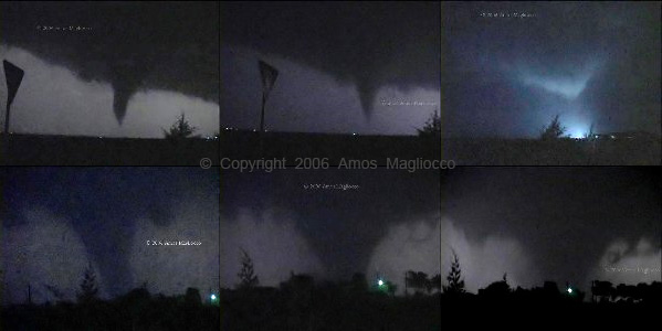
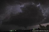
- Tornado #3 - Westminster, Texas
- At 0338 UTC a new tornado developed NE of Anna moving east and
eventually curving NE into Westminster, TX, killing 3 and seriously injuring 10
people. One person was taking shelter under the stairs, the other two in a different
house were asleep. That tornado started out as a stove pipe and turned into a large
cone and into a wedge. Preliminary NWS reports showed high end F3 / low end F4,
however the official rating was set at F3. After that tornado lifted the storm
rapidly weakened and we followed it into Grayson county before turning around. On
our way home we continually had to pull off to allow multiple caravans of emergency
vehicles heading north on 121, so we knew something was wrong up there. We met up
with Jason Clark and enjoyed some late night dinner at Denny's. Images showing the
development and mature stages of the Westminster tornado. Lights from chase vehicles
as well as that green city light screwed with my exposures after the last image, when it
was a wedge shape. The bottom image is a series of video captures Amos Magliocco
took as he relayed reports to the local skywarn net. You can view his page at: http://www.cycloneroad.com/


- © Copyright 2006 Eric Nguyen
-
- or