Area Chased:
Discussion: I left OUN the night before and drove north to York, NE. Left York at 11am targeting the badlands of SE SD. At Valentine I began to observe strong convection to my NW near Pine Ridge, SD. I blasted north and west on Hwy 18 and went north on the N-S road that has that small town of Hisle, SD on it. I debated on heading further west but it looked like the structure was amazing and I wanted to get structure shots with a tornado underneath. I ran into Amos, Scott Blair, and Scott Currens which made the chase more fun. At approximately 5pm one tornado developed well SW of Wanblee, SD, closer to Allen, SD. This started as a cone funnel with a debris cloud underneath and over time turned into a thin rope. It lasted several minutes and was accompanied by softball sized hail or larger.
After the tornado the storm seemed a little less organized then it was before and began to accelerate northeastward. We drove into a valley that was part of the Badlands National Park and observed a long funnel from an occluded meso for several minutes. At the same time a new wallcloud developed to our east. Being behind the storm I drove north to I-90 and blasted east to get ahead of it. Amos and I had to drive under the wallcloud which was crossing I-90. We flanked the storm and observed some interesting structure with eddies embedded in the striations. Amos found an old ghost town that gave us an interesting foreground. We ended the day in Murdo, SD at a restaurant gas station just before the brunt of the storm hit us. We watched the awning sway back and forth in the wind wondering if it would fall over. We enjoyed a nice hail burger for dinner.
Pictures:
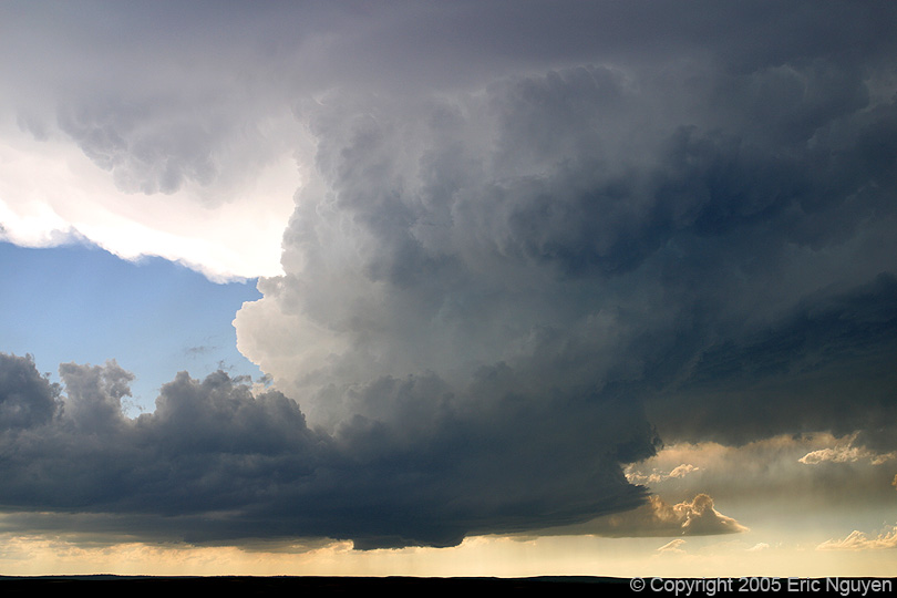
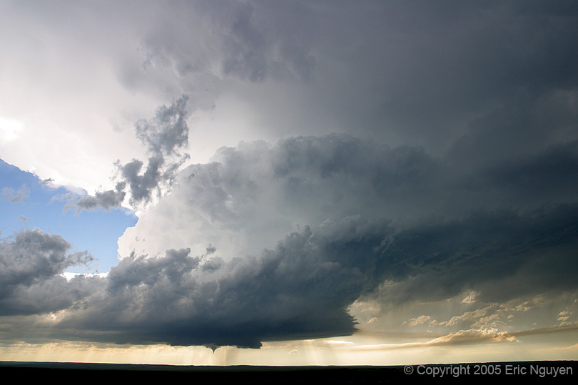
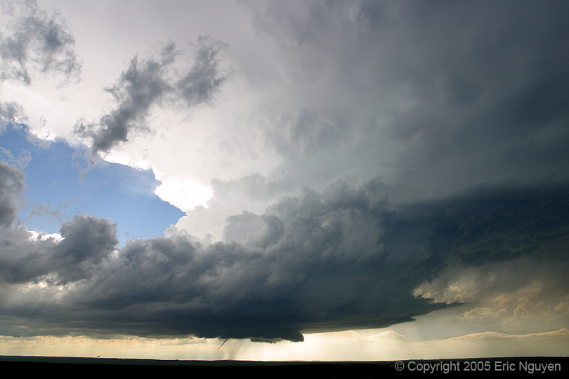
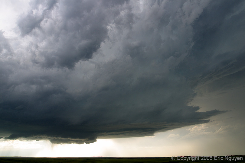
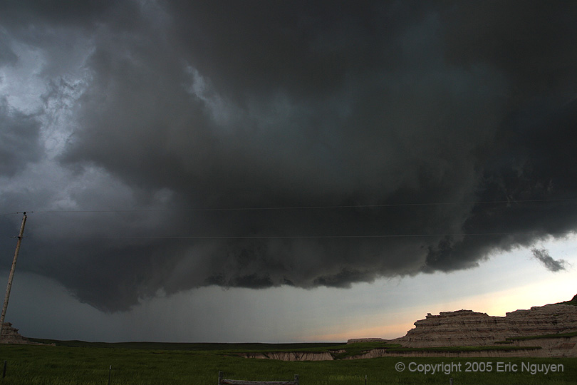
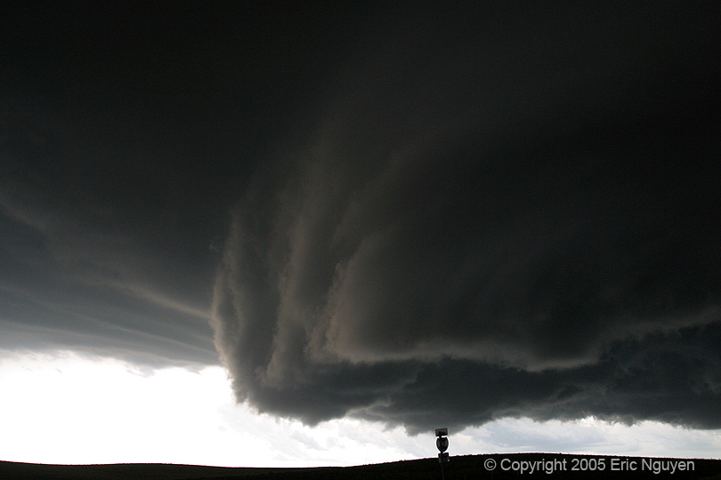
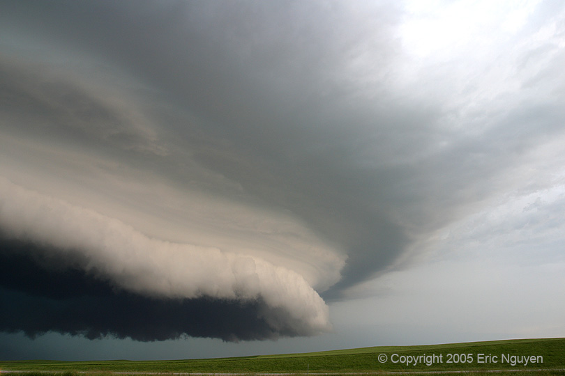
 Storm is SW of Wanblee, SD with excellent structure and a
developing wallcloud. It appeared to be on a boundary as a line of weak cu coming
from the SE fed into the storm.
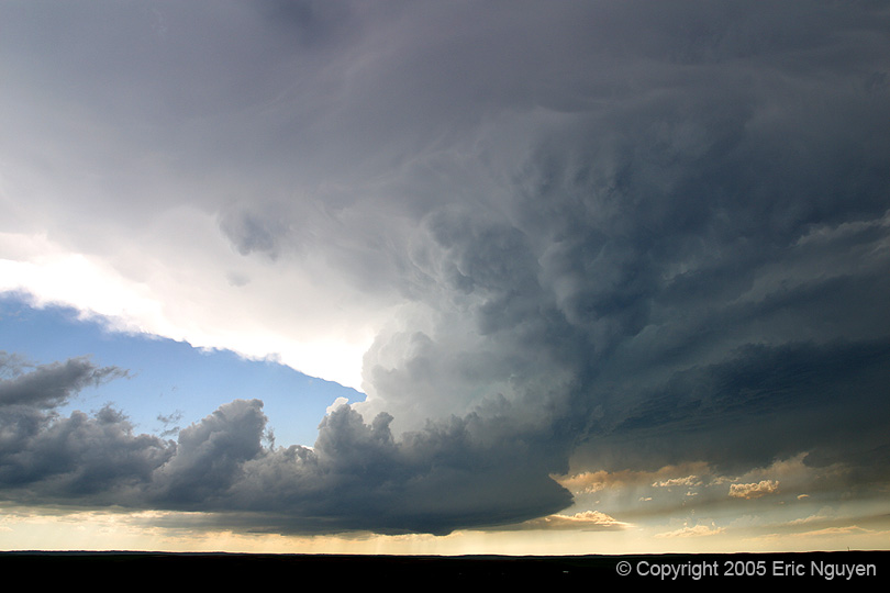
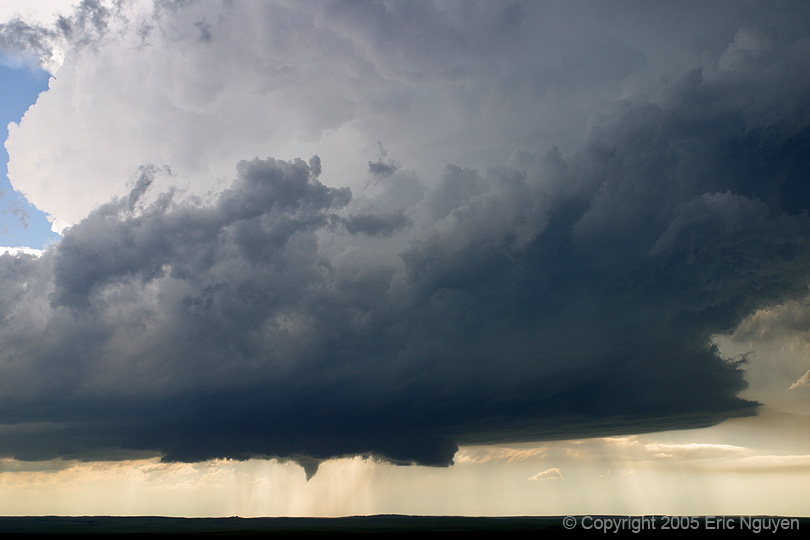
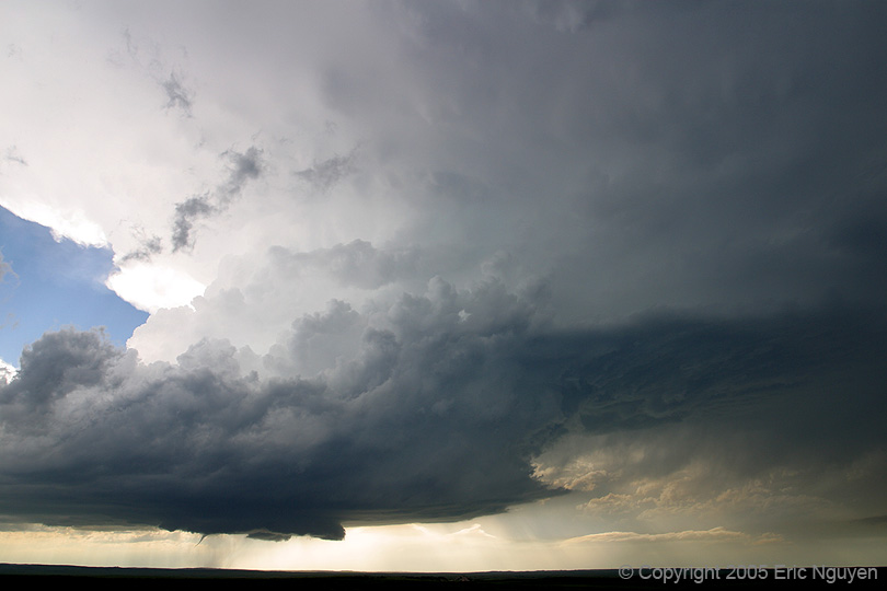
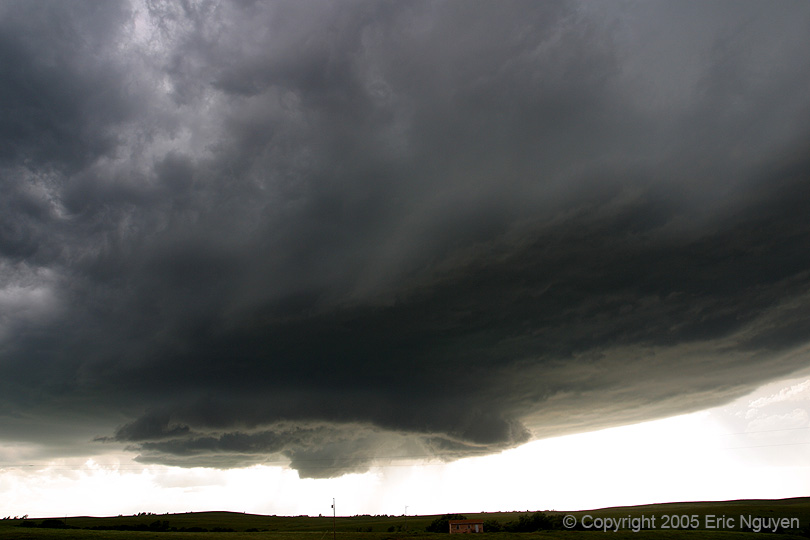
Storm is SW of Wanblee, SD with excellent structure and a
developing wallcloud. It appeared to be on a boundary as a line of weak cu coming
from the SE fed into the storm.
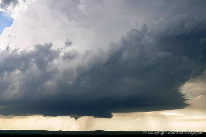
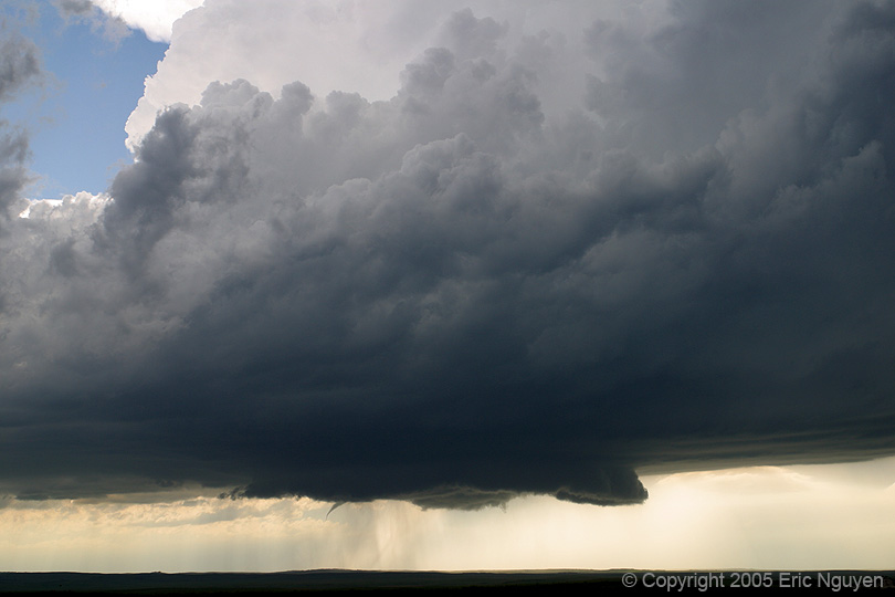
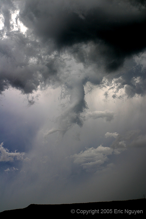
 Funnel observed that quickly touched down as a debris cloud was
being reported by several chasers that were closer. The structure was gorgeous!
Funnel observed that quickly touched down as a debris cloud was
being reported by several chasers that were closer. The structure was gorgeous!

 Zoomed shot of the tornado. View is still looking due west.
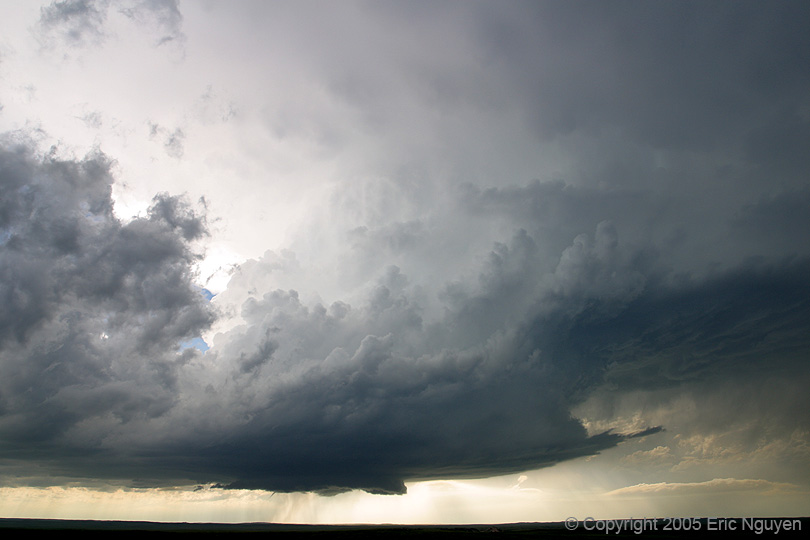
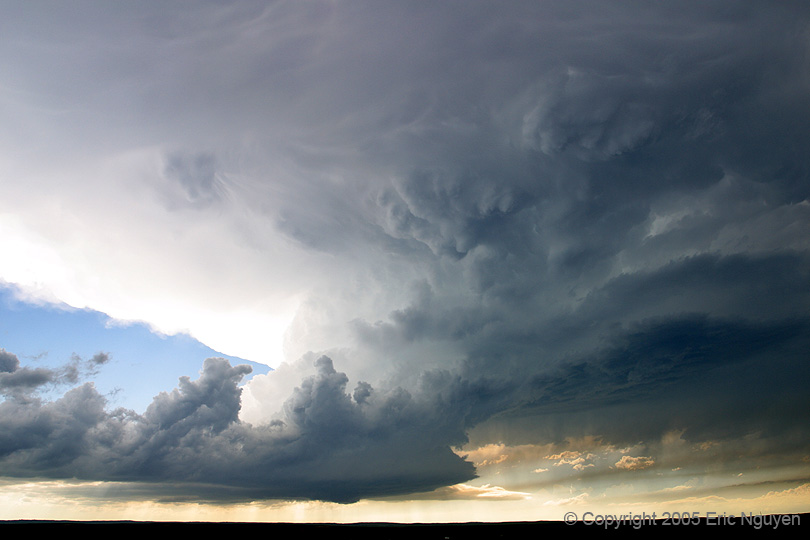
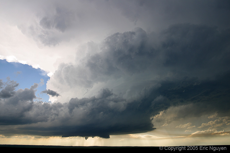
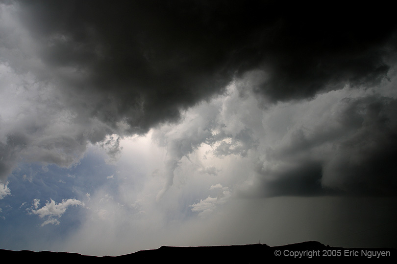
 After the tornado the storm began to pick up speed.
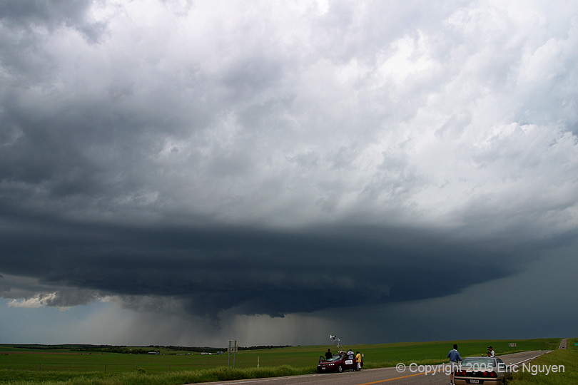
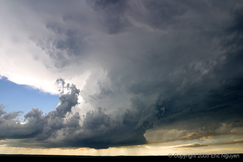
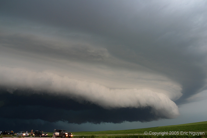
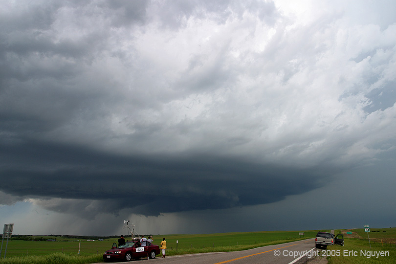 Looking NNW at the supercell as it looks a little less organized.
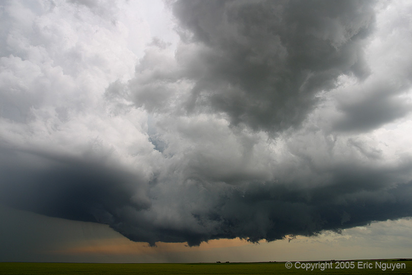 Looking north as we drive through the Badlands National Park, a
long funnel developed from an old occluded meso. Nobody was close enough to know if
it ever touched down. At the same time a new wallcloud developed to our east.
Looking north as we drive through the Badlands National Park, a
long funnel developed from an old occluded meso. Nobody was close enough to know if
it ever touched down. At the same time a new wallcloud developed to our east.

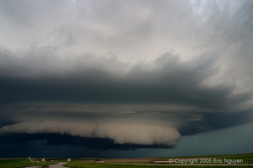
 Just south of Interstate 90 near Interior, SD, I found some hail
that had fallen 20 minutes before that had some nice spikes on them. We reflanked
the storm on I-90 and had to drive under the wallcloud.
Just south of Interstate 90 near Interior, SD, I found some hail
that had fallen 20 minutes before that had some nice spikes on them. We reflanked
the storm on I-90 and had to drive under the wallcloud.
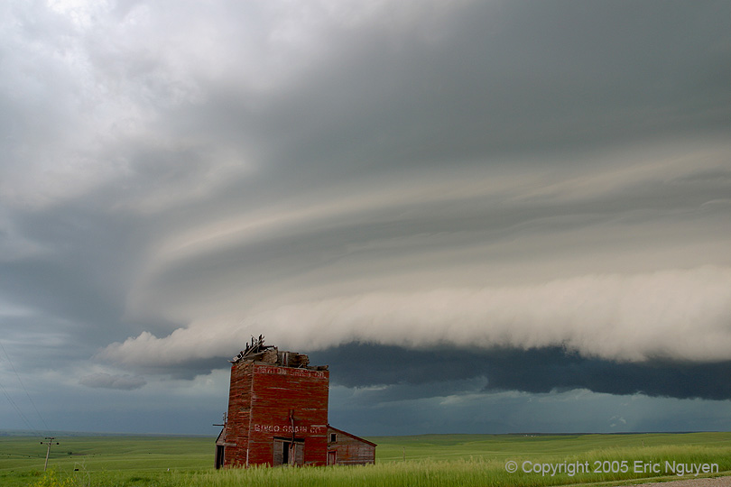


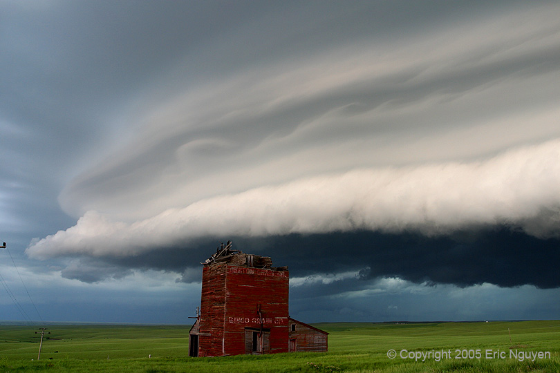
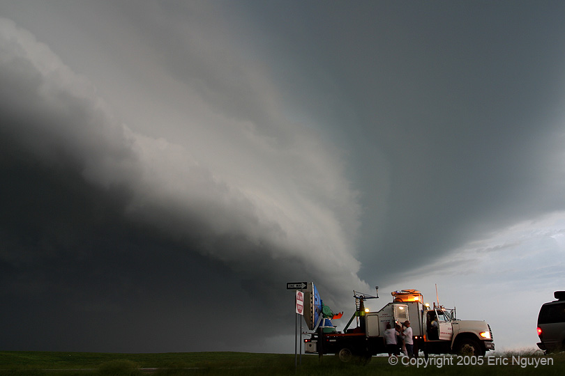
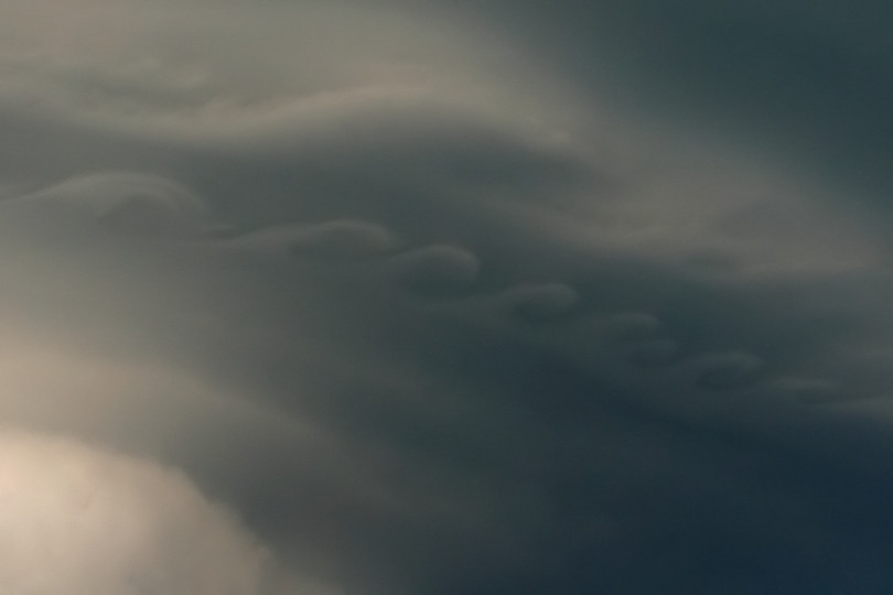 Structure on the east side of the supercell was excellent.
Especially the eddies embedded in the striations. Amos found a scenic overlook with
an old ghost town.
Structure on the east side of the supercell was excellent.
Especially the eddies embedded in the striations. Amos found a scenic overlook with
an old ghost town.
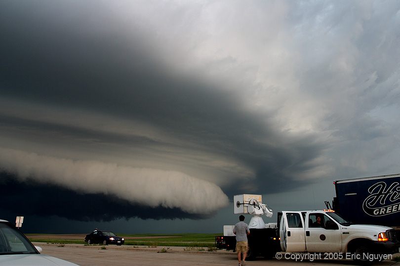
 When we got back on I-90 the chaser traffic increased quite a
bit. I think a lot of us wanted to bag it since it was getting late so we waited for
it to hit us. Luckily we were able to take shelter at a restaurant in Murdo, SD
while strong winds pounded I-90.
When we got back on I-90 the chaser traffic increased quite a
bit. I think a lot of us wanted to bag it since it was getting late so we waited for
it to hit us. Luckily we were able to take shelter at a restaurant in Murdo, SD
while strong winds pounded I-90.
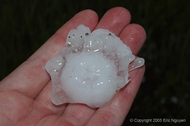
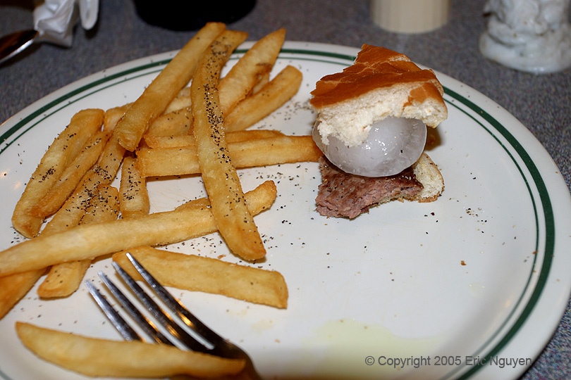 Few more shelf pictures and a hail burger at the restaurant.
The hail was 2 hours old and was obtained by Scott Blair near Wanblee earlier that
day.
Few more shelf pictures and a hail burger at the restaurant.
The hail was 2 hours old and was obtained by Scott Blair near Wanblee earlier that
day.