- 2005 May 13
- © Copyright 2005 Eric Nguyen
-
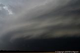
- Chase Area: Northwest Texas
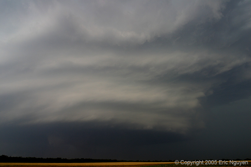
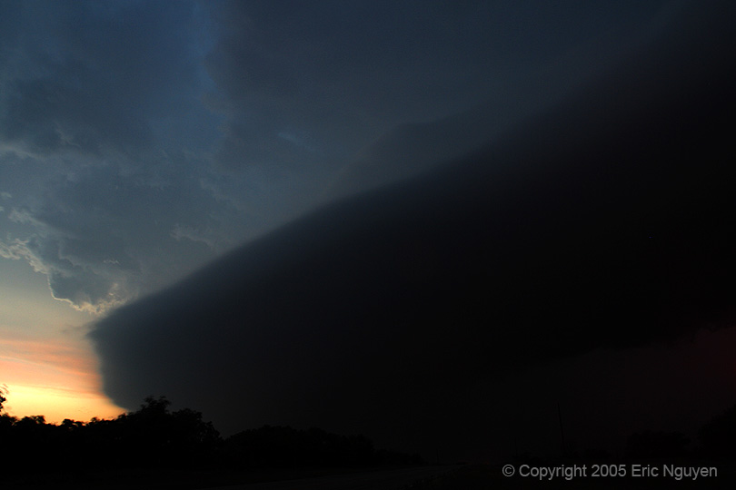
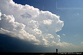
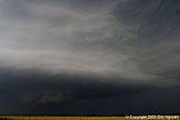
- Scott Currens and I observed a long-lived supercell in NW
Texas. Initial threat for tornadoes existed, and then the storm developed into a
mean HP supercell, with great structure! We targeted Paducah, TX, where we ate lunch
and waited for storms. We then went up to CDS to get some data while hanging out
with other chasers. Finally, convection developed near Paducah and slowly moved
eastward.
-
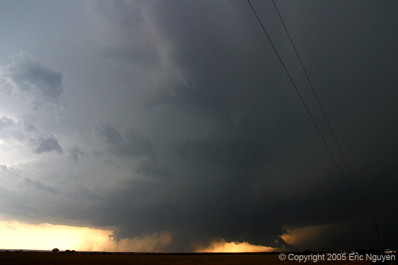
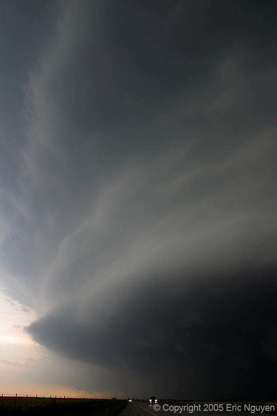
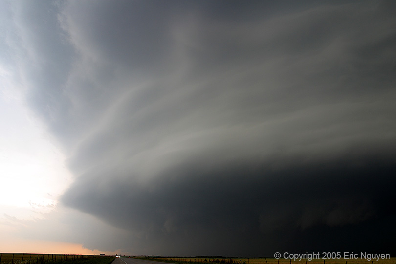
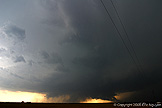
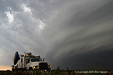
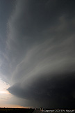
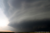
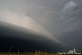
- Tornadic Supercell - Paducah, Texas
- Initial convection fired over Paducah, Texas, and slowly moved
eastward. A wallcloud developed, but due to lack of roads we decided to flank it for
structure to the southeast and give up seeing any tornadoes. A cone tornado was
observed by other chasers.


-
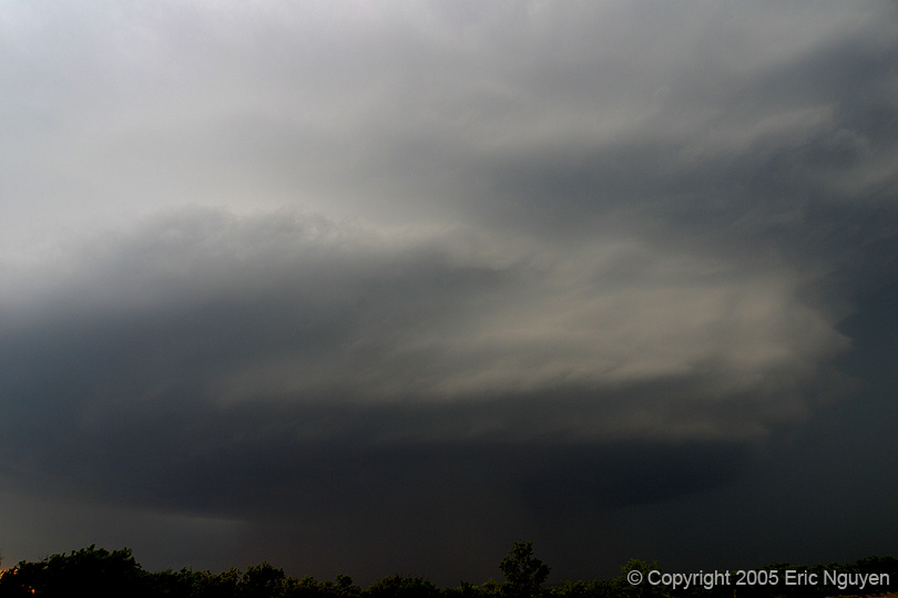
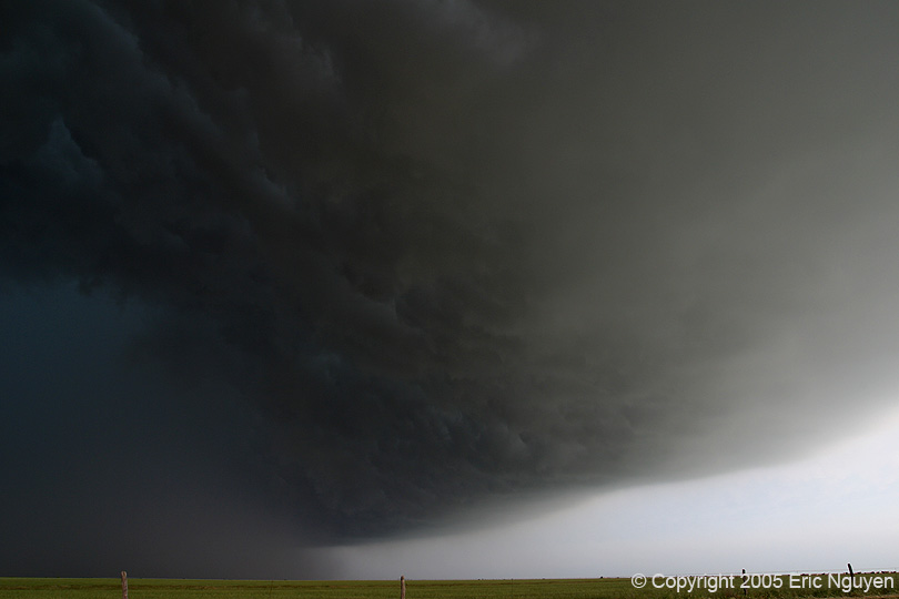
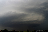
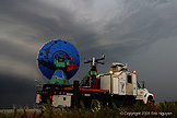
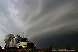
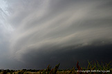
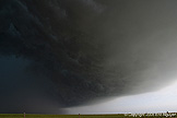
- Storm Goes HP - Haskell, Texas
- We took one wrong turn thinking we would be able to re-flank the
storm and encountered strong winds in a broad cyclonic fashion. After that, we dared
not venture back into the storm.

-
- © Copyright 2005 Eric Nguyen
-
- or