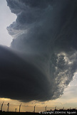
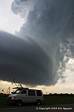
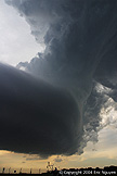
Area Chased: W OK
Discussion: Scott Currens and I drove west to Elk City and waited around a bit for convection to fire. Once it did the dominant storm appeared to be the one we were on as it moved east. It looked great at times and other times would get undercut by cold outflow. It didn't really get interesting until it reached the western parts of OKC. The storm appeared to slow as the precip core moved east, thus the precip completely separated from the updraft. I've seen this several times and I can't explain it. What was left was a gorgeous LP supercell hovering over Will Rogers World Airport! Once it dissipated, a thin tube was all that was left of the rotating updraft. So it was still rotating up until the thin tube dissipated.
Pictures:
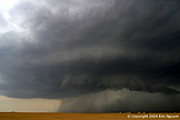 Our storm east of Elk City, OK. At times it looked great.
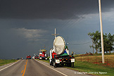 There were plenty of people out since it was in Oklahoma, thus we
tried to stay away for the large groups.
 When the storm reached the OKC metro the structure suddenly
became incredible!
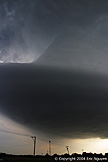
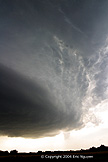
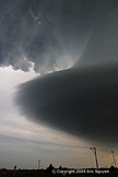 Awesome LP structure as the precip core moved northeast away from
the updraft.
 It rapidly weakened, yet was still rotating pretty good.
Thus a thin tube was all that was left of this updraft.
