Area Chased: NW TX PAN
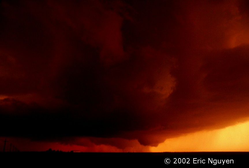
Discussion: We were unsure on a target for the day, however, on our way south into NW OK we targeted NW TX Pan. The first supercell developed near Follett, TX in far northeaster TX Pan. This produced two weak short-lived dust-whirls. A second supercell developed near Lipscomb which had a classic appearance and produced a nice stove-pipe tornado. About 30min later this and another supercell to the south rapidly intensified. After dark I went southwest to Miami, TX and encountered two classic violent supercells which had east inflow winds sustained at 40mph with gusts exceeding 50mph. Classic wallcloud formed just north of Miami, TX and baseball hail was falling to the west. The second supercell to the SW had the same structure, classic supercell structure with baseball sized hail that broke the windshield. Once these supercells passed and began to weaken with time we called it a night and drove to W OK to prepare for the next day.
Pictures:
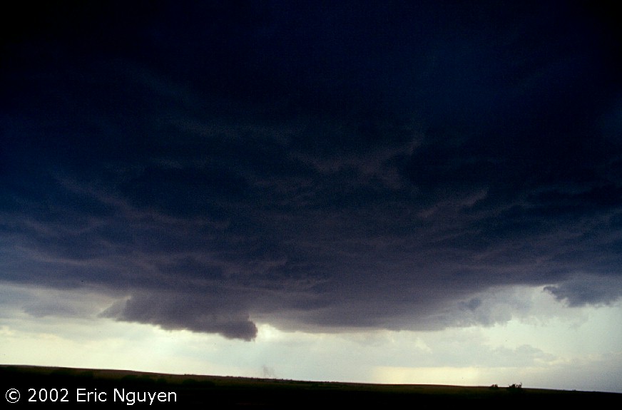 Updraft base of the first supercell of the day near Follett, TX in Lipscomb
County. This produced two short-lived weak tornadoes under two different wallclouds.
Updraft base of the first supercell of the day near Follett, TX in Lipscomb
County. This produced two short-lived weak tornadoes under two different wallclouds.
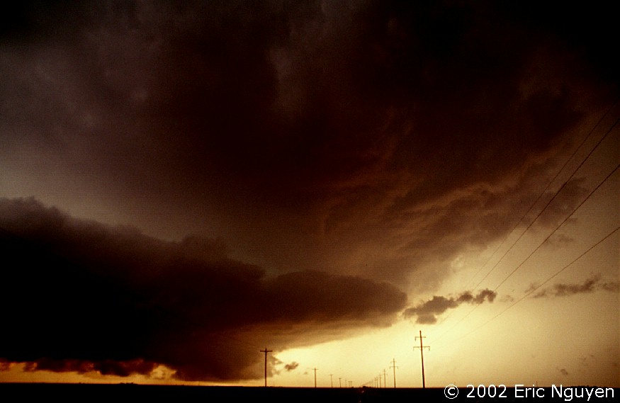
 Another supercell formed near Lipscomb (city) southwest of
Follett. Just north of Lipscomb, TX this supercell developed a short-lived rain
wrapped tornado. It's in both of these images, however, it is hard to see due to
poor slide scanning technology.
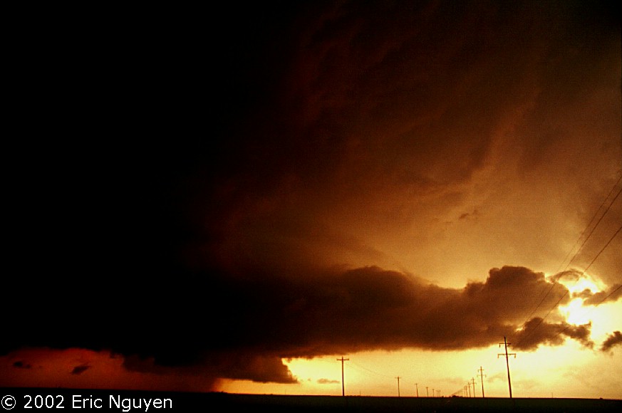
Another supercell formed near Lipscomb (city) southwest of
Follett. Just north of Lipscomb, TX this supercell developed a short-lived rain
wrapped tornado. It's in both of these images, however, it is hard to see due to
poor slide scanning technology.