Area Chased: SE CO / OK PAN / TX PAN
Discussion: We originally thought storms would fire in far SE CO / SW KS border, however storms rapidly fired a little east of that area. Classic to HP supercells formed pretty much everywhere from SW KS to C TX Panhandle. Our supercell near Goodwell, OK developed an unexpected multivortex tornado with no condensation until it was undercut. After that it was a mad dash to get away from the storm or stay ahead of it as it was produced baseball sized hail. Visibility was rather poor due to the amount of dust this storm suspended in the air. Towards dark we took video and stills of the lightning lit spiral updraft with a wallcloud on it. It was an amazing chase day!
Pictures:
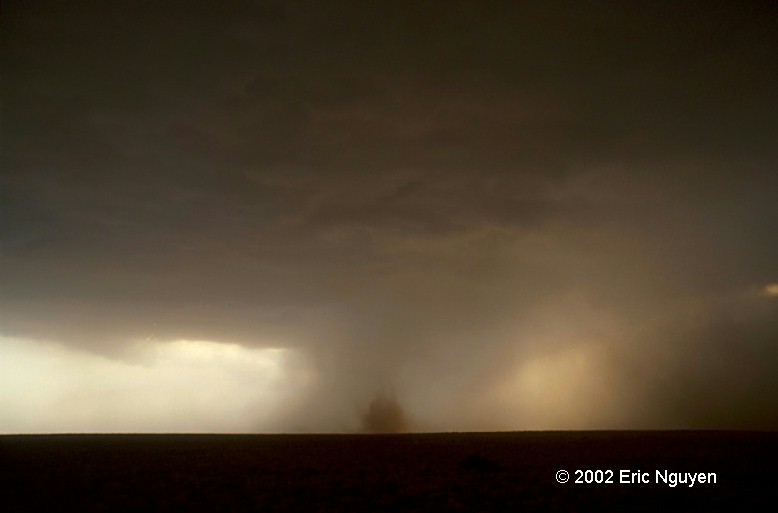
 This is the goodwell tornado during the latter half of its
life. It caught us off guard so I didn't get good stills of it. Later on the
storm still had a nice round appearance to the base. This storm became quite
violent with time as it's inflow and outflow increased putting tons of dust into the air
making it impossible to visually see the storm's base. Since we were low on gas we
quickly gassed up and left ASAP so the storm wouldn't eat us.
This is the goodwell tornado during the latter half of its
life. It caught us off guard so I didn't get good stills of it. Later on the
storm still had a nice round appearance to the base. This storm became quite
violent with time as it's inflow and outflow increased putting tons of dust into the air
making it impossible to visually see the storm's base. Since we were low on gas we
quickly gassed up and left ASAP so the storm wouldn't eat us.